|
WU Wageningen University - Laboratory of Geo-Information Science and Remote Sensing (GIRS) |
|
|
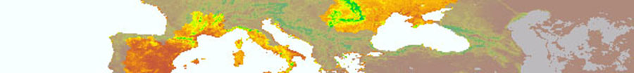
The Laboratory of Geo-Information Science and Remote Sensing is part of the Environmental Science Group at Wageningen University, Netherlands. Its mission is to improve spatial competences for a sustainable world through research and education. This is accomplished by the combined efforts of two chair groups on Geo-Information Science, one with emphasis on geographical information systems and one with emphasis on remote sensing. The present work of the remote sensing group focuses on the combination of novel modelling approaches to acquire structural attributes and canopy characteristics obtained from terrestrial LiDAR data, with the retrieval of structural and biophysical parameters from high and Moderate resolution time-series satellite data using inverse 3D radiative transfer modelling with explicit description of canopy structure. As part of our forestry change monitoring and active UN REDD (Reducing Emissions from Deforestation and forest Degradation) research, we are currently further developing forest change detection algorithms capable of dealing with multiple data streams i.e. in-situ observations, optical and RADAR satellite measurements. The algorithms, operational monitoring systems are tested in a number of (developing) countries like Vietnam, Ethiopia and Brazil where we have active REDD research projects. More information: http://wageningenur.nl/changemonitor http://bfast.r-forge.r-project.org/ Our role in BACI:
Key people:
| |
BACI: 2015-2019
TOWARDS A BIOSPHERE ATMOSPHERE CHANGE INDEX